California and the broader American West are bracing for another dramatic weather swing—one that meteorologists warn could bring significant impacts despite its seemingly transient nature.
The pattern is familiar to seasoned weather watchers: a powerful ridge builds, temperatures soar to record levels, and just as quickly, the atmosphere destabilizes. But this transition carries more punch than typical spring variability.
What the Maps Show
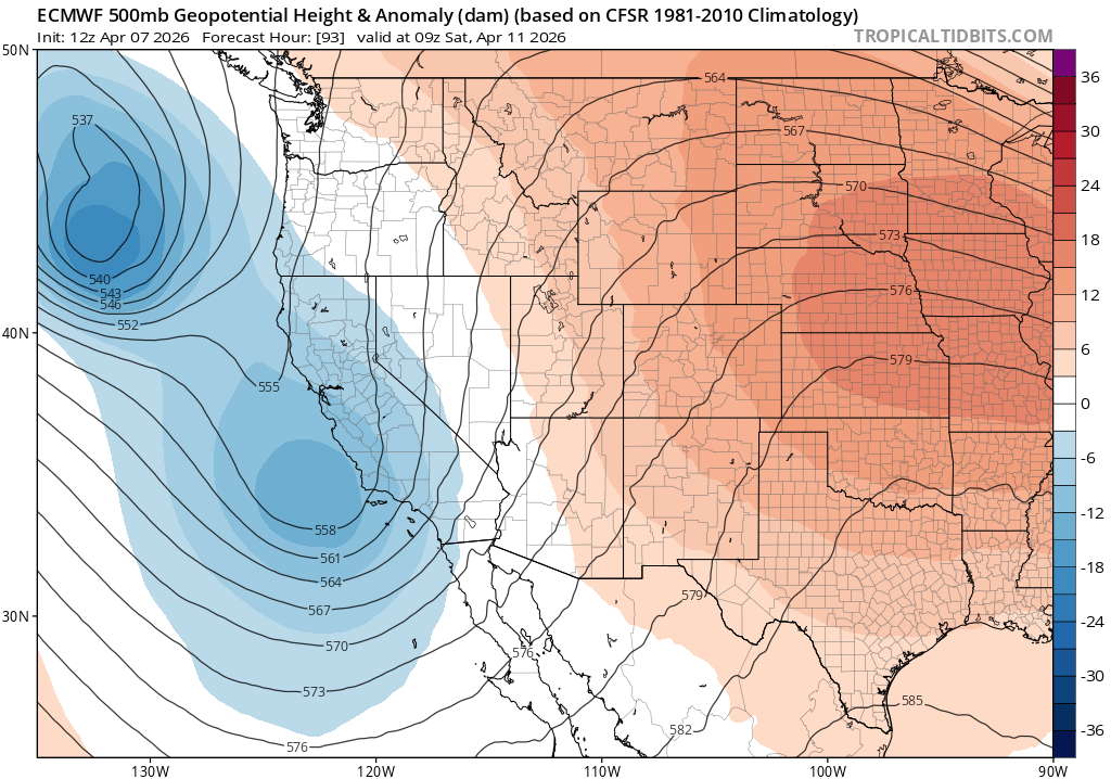
The ECMWF 500mb geopotential height chart (initialized 12z April 7, valid 09z Saturday, April 11) reveals the mechanics of this shift:
The Ridge (Now)
• A dominant high-pressure system—shown in warm oranges and reds across the Great Plains—has parked itself over the interior West
• 500mb heights exceed 576 decameters over the Central Plains, signaling an unusually strong mid-level ridge
• This setup drove record warmth across California over the weekend, with some interior valleys touching 90°F
The Trough (Incoming)
• A deep low-pressure system—visible in blues off the Pacific Northwest coast with heights dipping to 537 dam—is already organizing
• The gradient between the stubborn eastern ridge and encroaching western trough creates atmospheric instability
• By Saturday, this trough will dig south, replacing ridging with unsettled, stormy conditions
Why "Transient" Doesn't Mean "Weak"
Meteorologists emphasize that while this ridge appears temporary, the transition will be energetic:
• Strong jet stream dynamics between the competing air masses will enhance storm development
• Pacific moisture—currently bottled up by the ridge—will surge inland as the trough advances
• Convective potential increases as cold upper-level air overrides warming surface temperatures
The result: a period of active weather across California, Nevada, Arizona, and potentially the broader Southwest from late week into the weekend.
The Bigger Picture
This pattern fits a volatile spring 2026 across the West—characterized by sharp oscillations between drought-intensifying heat and drought-easing storms. For California, still recovering from multi-year aridity, these unsettled interludes represent critical precipitation opportunities, even when brief.
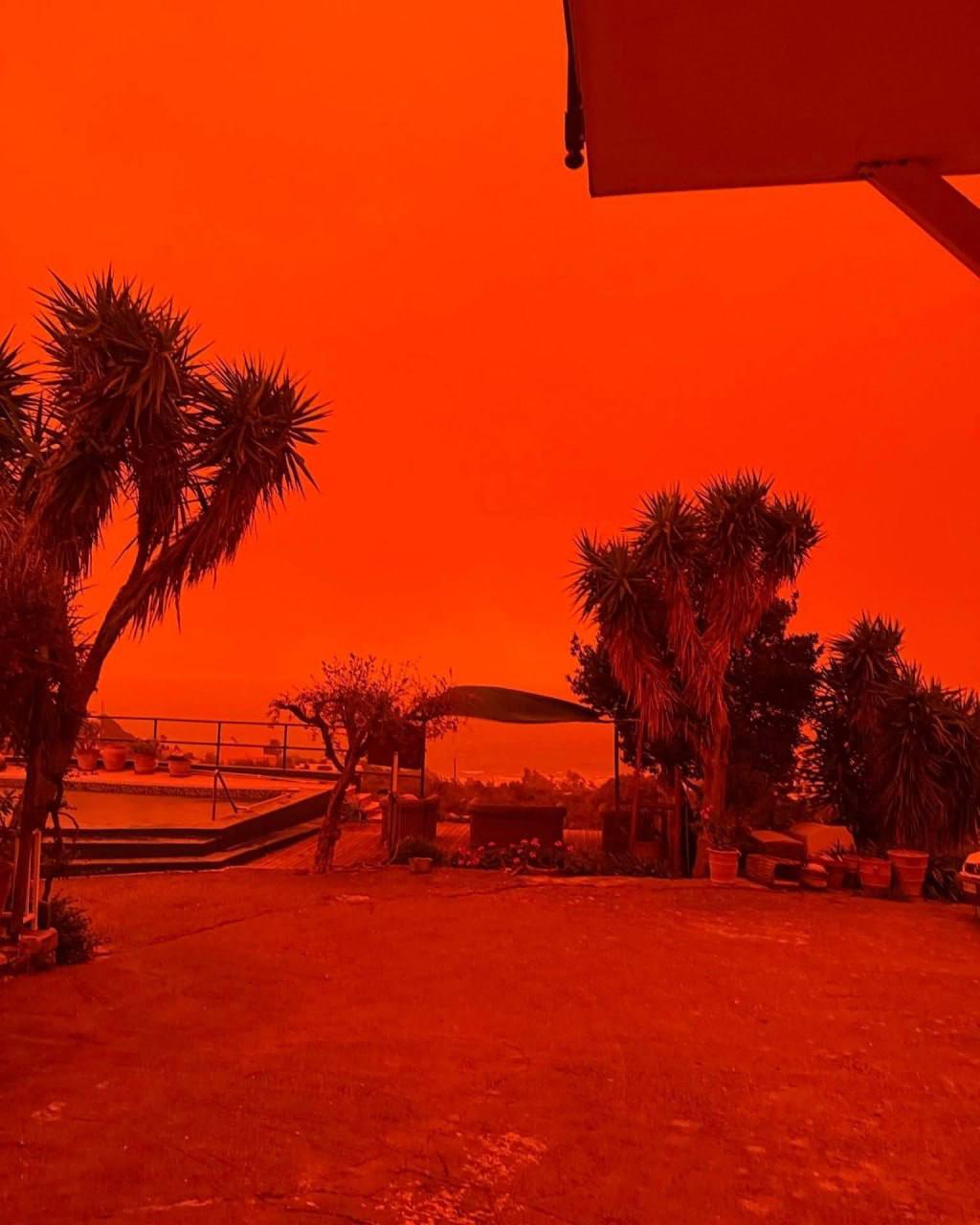
For now, enjoy the warmth. But keep the umbrella handy. The atmosphere is reloading.
Forecast Confidence: Moderate-High | Updates: Check civic watch media
Civic Watch Media | Truth. Accountability. Public Interest.